Parnell Apartment Block

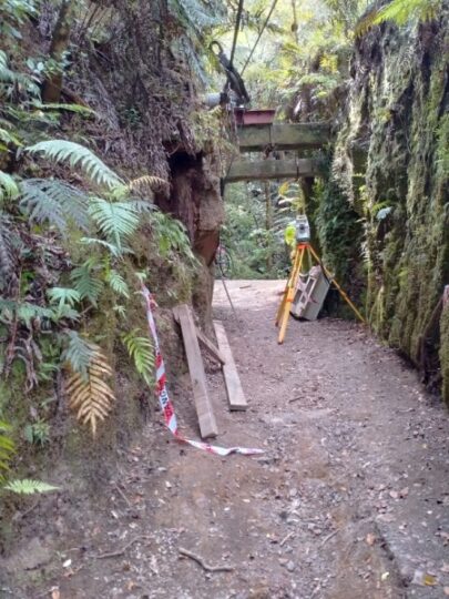
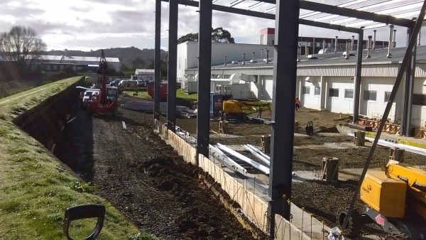
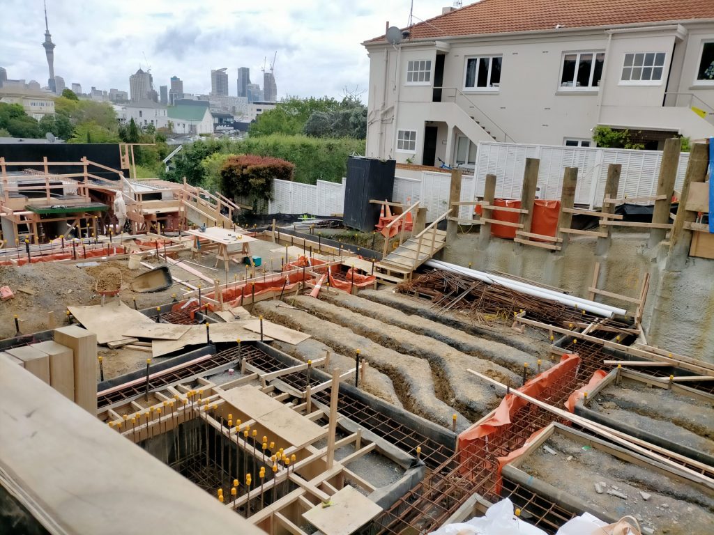
RPC has recently been involved in the construction of a new 4 level apartment block in Parnell, Auckland. The site was awkwardly steep, on a narrow street and in an old part of town. This provides a unique set of challenges for Surveyors.

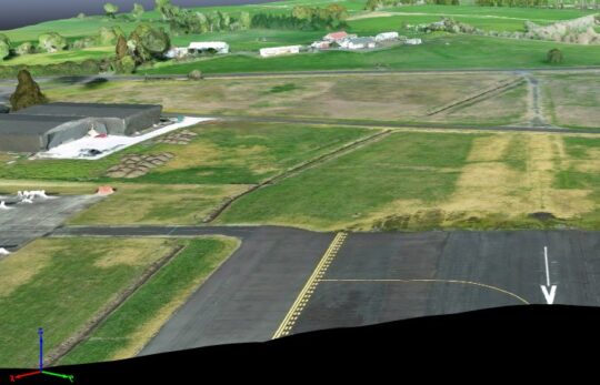
RPC’s role was to mark out and establish:

  • Vertical control (Datums)
  • Building gridlines
  • Foundation piles
  • Tilt slab positions
  • Driveway gradients

Due to the amount of excavation and earthworks, we had to complete the work in stages and make ourselves available to rush out at short notice to replace profiles so that there was little disruption to the construction.

During each stage RPC would issue certificates verifying that everything was correctly positioned as part of the building consent conditions.

There was also concern from the neighbours about there houses being undermined.

RPC assisted by monitoring these buildings at regular intervals to ensure that they weren’t moving or leaning.

Omanawa Track

Omanawa Fall track upgrade

RPC is working with the Tauranga City Council and consultants Tonkin and Taylor on the upgrade of the facilities at Omanawa Falls.  This involves a new car park area, improvements to the track and access, and new viewing platform.

A combination of survey techniques including drone surveying, GPS, and traditional survey methods were used to complete detailed site surveys of the areas required, so that the designs can be carried out. We had to get into some tricky and interesting areas to complete the site surveys.
Omanawa Falls has long been a favourite and scenic walking track in the Tauranga area, and we are pleased to be involved with this project to improve the facilities and public access.

Two Lot Subdivision

Project leaders

RPC can help project manage any subdivision from the initial concepts, right through to titles.

RPC was project leader and completed the below items for each stage:

  • Full Site survey for building plans and resource consent.
  • Scheme plan for resource consent.
  • Obtain subdivision and land-use resource consents for the subdivision from Council.
  • Carry out complete engineering design including access design, stormwater and sewer drainage, water and other services.
  • Undertake construction supervision for all works.
  • Complete all the set-out work required by the Builders for the construction of the new dwelling.
  • Complete surveying on building under construction for daylight compliance calculations and certification.
  • Undertake as-built surveys and provide certification of construction works.
  • Complete a Land Transfer survey for new record of titles.

This is a brief overview on how RPC can assist you in 2 Lot Subdivisions. If you are planning a Subdivision or would like any further information please contact us and we can offer advice and assist you.

Flight Path Survey

3D Drone Survey

A picture is worth a 1000 words.

That’s what we discovered with our recent survey for Ardmore Airport.

RPC was tasked with surveying all the trees and obstacles on the runway approach and departure from the airfield. This is a regulated requirement and the work has to be completed every 5 years to make sure the CAA requirements continue to be met.

RPC completed this work using it’s Phantom 4 RTK drone. The drone is setup to fly a set grid at approximately 150 feet altitude capturing detail at a sufficient density of points to determine the identity of all obstacles.

Initially we had to operate around arriving and departing aircraft but once the Airport opted to close the airspace, we were able to complete all the work within a couple of hours and minimal disruption.

Traditional surveying methods would’ve been much slower so another successful job for the drone.

Removal of Limitations & Subdivision – Auckland

Vacant Lot Subdivisions

Vacant Lot Subdivisions are very popular and proven to be a quick and easy way to make money in Auckland.

RPC was involved in this project from the kick-off through to the final signoff and issue of the new titles.

RPC were the project managers and completed the below items for each stage:

  • Establishing the underlying boundaries and removing the limitations from the Title
  • Topographical survey of the entire site and CCTV investigation of the existing drainage
  • Drafting Subdivision and Engineering plans for Resource Consent. This included engineering designs for new wastewater and stormwater extensions
  • Undertaking construction supervision for all works
  • As-built surveys to provide certification of the new construction work
  • Complete Land Transfer survey for new certificates of title

This kind of subdivision can greatly increase the value of a property as it makes it very attractive to a developer.

Car Park – Takanini Gurdwara Sri Kalgidhar Sahib (Temple)

3D Drone survey

RPC were engaged by Higgins Group to assist with the construction of a 450m long carpark around the outside of a Temple and sports field.

RPC’s roles in this were:

  • The initial mark out of bunds, fences and level datum’s for the large scale earthworks
  • Setting out the new kerb line with offsets and detailing the amount of cut/fill required at each point
  • Marking out the position of new drainage and stormwater management devices for the drain layers
  • Liaising with the contractors and engineers
  • Monitoring the construction to ensure that it is done to the correct standard
  • As-Built surveys of the new drainage and kerb line to certify it is all in general accordance with the design.


Griffins – Auckland

Boundary Readjustment

The Griffins Food Company in Papakura has been undergoing a variety of expansion projects recently which RPC has been assisting with.

The first project was a Land Swap (Boundary Readjustment) between Griffins and the neighbours Wilco Precast. For this RPC drafted a plan showing an aerial view with the new and existing boundaries. With this both parties could clearly understand what was happening and advise on any changes that they wanted.

The second project that RPC was involved with was an extension to one of the food processing plants.RPC assisted by:

  • Surveying the topography of the building area for the designing Engineer. This included the existing drainage and building features
  • Marking out gridlines and floor levels for the builders
  • Responding quickly to re-mark gridlines after the profile boards were destroyed
  • As Built surveys to certify that it had all been built in accordance with the plan

The third project was a 7HA topographical survey of the property and abutting streams. This data was provided for the consulting engineers so they could do a flood assessment and design new bunds.

Tides Reach – Rural Residential Subdivision

Rural Residential Subdivision

This is a 12 Lot Rural Residential subdivision created through the use of Transferrable Development Rights agreed to with the council as part of the new Proposed District Plan.

The development is being completed in 5 stages subsequent to the initial subdivision stage and has involved Landscape Design to mitigate the effect on visual amenity when viewed from the Tauranga Harbour.
RPC has been involved from the outset involving:

  • Liaising with council and other professionals to reach agreement with council to finalise zoning of the land and appeals against the Proposed District Plan as they affected the subject land
  • Preparation of topographic plans to identify areas for onsite protection lots
  • Preparation of scheme plan and application AEE for Resource Consent

Boundary Adjustment, Thornton Beach Holiday Park

Boundary Readjustment

Due to the proposed expansion of the campsite, we were required to adjust the existing boundary.

We used a drone to survey and redefine the Mean High Water Springs (the dividing line between the land and sea) for 1km of water boundary.

This significantly reduced the time from having to manually survey the extent of the beach, reducing the cost to our clients and provides a graphical record of the position of the beach at that point in time.

New Farmers Building

Downtown Redevelopment

RPC has been involved in the redevelopment of the Farmers building in downtown Tauranga. We completed an initial site survey including a detailed survey of the buried services in the area. The development includes two stories of stores and a further nine stories of apartments above. RPC has been completing precise monitoring surveys of positions around the site, and deflection monitoring of the foundations as excavations are undertaken.

We set out grid-lines for the 1600+ piles and we also completed the as-built survey work on the hold-down bolts.

Since production started to August 2019:

  • 58,000 m3 of muck have been removed from site
  • 20,000 m3 of concrete has been pumped into the ground
  • 44,000 l/m of piles have been installed
  • On average 50 trucks attend site daily
  • The completed project will host
  • Farmers
  • Pascoes
  • Whitcoulls
  • Various Food and Beverage outlets